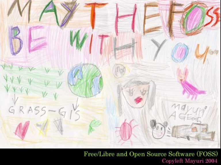
The term FOSS4G was first coined in early 2004 as an acronym for Free and Open Source Software for Geoinformatics by a research group working on Internationalization of GRASS and MapServer. The first report defining and using the FOSS4G acronym was published in Japan in March 2004 in a paper entitled “Development of training material and internationalization of GRASS GIS and MapServer for advancing FOSS4G solutions” published in the Bulletin of Osaka City University Media Center (ISSN: 1345-4145). It was later used at the Free/Libre and Open Source Software for Geoinformatics: GIS-GRASS Users Conference held between September 12 – 14, 2004 in Bangkok, Thailand in a publication entitled Implementation of Web Map Server Test-bed and Development of Training Material for Advancing FOSS4G Solutions and subsequently in several other international and national conferences and meetings.
The Free/Libre and Open Source Software (FOSS) for Geoinformatics: GIS – GRASS Users Conference held in Bangkok, Thailand from 12-14 September 2004 was an extended successor of the GRASS-GIS Users Conferences. The aim was to bring together GRASS developers and users worldwide and foster closer relations, and to share ideas for improving free software and applications. The Bangkok conference covered all aspects of FOSS for Geoinformatics, in addition to GRASS GIS itself.
